The Ridgeway (Or Icknield Way) #4: Lewknor to Goring

The appeal of the Ridgeway to me had been a lot to do with the fact it was an ancient route, cited by some sources as being 5000 years old. Although not clear whether there's any hard evidence for that.
The Ridgeway proper, in its original incarnation, is just the section which goes from Goring / Streatley to Wiltshire. However this formed part of the longer Icknield Way, which extended all the way to Norfolk. The national trail has been named The Ridgeway all the way from where I started, at Ivinghoe Beacon. However when choosing today's route I noticed on the OS map in some places annotations marking the route of the "original" Icknield Way. Although the (modern) Ridgeway takes rather a dogleg between Lewknor and Goring, the parts of the old Icknield Way looked much closer to a straight line, and I could get all the way to Goring in about the time it appeared it would take me to just get as far as Wallingford along the Ridgeway.
So that's what I decided to do today - take a "short cut" - along the original and more authentic route.

I started where I had left off last time, which meant getting the Oxford Tube back to Lewknor. I can't say I'm a fan of coach travel, but there aren't any stations nearby, so this really is the only practical option. As I had a long walk ahead of me I'd made an early start, had got on the coach at Marble Arch just after 8am, and was at Lewknor by just after 9.

Despite the unpleasantness of being on a (surprisingly full) coach, the good thing about the Lewknor bus stop is it's just a few minutes from the Ridgeway - I just had a short walk down a little country lane to do to meet it. There was a nice sky at this time of the morning - perhaps the tail end of the sunrise, with the clouds in thick strands allowing the light to shine through the gaps.

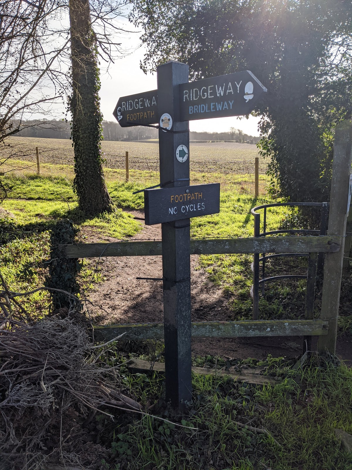
After this I rejoined the Ridgeway again, which according to the map at this point at least followed the route of the old Icknield Way. Although again I was a little frustrated to be walking along the foot of the Chilterns, having hoped the Ridgeway - given the name - would convey me along the top. Also the sky, after that initial flash of interest on arrival, reverted to being rather grey and overcast, and remained this way for most of the morning.


So this first section didn't make for the most scintillating of walks, but it was fine. I was happy to be out walking, and it was punctuated by a couple of comments from passing walkers ("You are the smartest walker I've ever seen!" - from a lady out walking her dogs).


The greys and browns of the scenery were occasionally brightened up by gaggles of snowdrops, which seemed to be faring much better out here in the wild than the bulbs I had planted in my garden.


I had passed below Watlington, and below Britwell Salome, and reached the point where the Ridgeway takes a sharp turn to the south, rather than continuing on a more logical south westerly course directly towards Goring. This is the dogleg mentioned above, and I believe it's here where I believe the modern Ridgeway trail diverges from the old Icknield Way. I assume this is because the Icknield Way ends up following roads on some sections further along today's walk, but they were all small country lanes where the cars were barely a nuisance. Also looking at the route the Ridgeway trail takes here there's one very long straight section from Nuffield to Mongewell, and I recall from last week's walk that very long straight sections like this can end up a bit boring.

So, I went my own way, following what I assumed to be something closer to the original route of the Icknield Way, parts of which were makred on the OS map as Swan's Way. This initially took me past Britwell House, which looked rather dignified in the distance.


I then crossed over a road, which, in hindsight, I should probably have followed had I wanted to stay true to the original Icknield Way. It looks like here the Icknield way curves round and skirts south of Ewleme. I instead followed Swan's Way here, which takes a bridleway heading across fields, over Littleworth Hill and Ewelme Downs.


I did start edging back towards the Icknield Way though, zig-zagging through Potter's Farm, which it seems had me briefly join the Chilterns Way Extension.


...and then past Mains Motors Scrap Yard, which I wish I'd taken more photos of, as the rusting carcasses of old cars and other vehicles had an oddly fascinating quality.


From there, I passed through the middle of a herd of cows, then Oakley Wood with another nice crop of Snowdrops, skirted round the edge of Blenheim Riding Centre and then I was reunited with the Icknield Way. This was initially along a road (see photo at the top of the page), but it was a very pleasant country lane, and the sky had by this point turned blue, so it actually made for one of the nicest bits of today's walk.

A little way along this very pleasant country lane it actually crossed over the Ridgeway, while the Ridgeway was on that very long straight section. I think I was comfortable with my decision to go my own way.

In places the "road" was barely more than a track, with a rather uneven surface which meant the very few cars which did pass along it had to go very slowly. So it was actually very well suited to walking.


After a while, the Icknield Way crossed over a road, and turned into a bridleway. Here it passed over the amusingly titled "Drunken Bottom" and this seemed like a nice spot to stop briefly and have my lunch.

As I'd anticipated there wouldn't be a conveniently placed pub on today's route I'd brought a sandwich with me. Thus here's a silly photo of me eating said sandwich. I just sat beside the path on a grassy bank, and there was a little bit of shelter from some surrounding trees. The sky was blue, the sun was shining, and it actually felt surprisingly like spring already - it was very pleasant to sit for a short while and enjoy a solitary picnic.


The landscape over Drunken Bottom and neighbouring Coblers Hill was a decidedly agricultural one, but I liked to believe the basic contours of the land were largely unchanged from how they had been at the time the Icknield Way was first used, and given the absence of modern roads and houses along this stretch it might have been recognisable to those travellers millennia ago.


Further along, snowdrops at the side of a field (which looked slightly incongruous somehow) and another flow growing on a plant creeping up the side of a tree, which I couldn't recognise because I'm hopeless with plants.


Then the Icknield Way went through a section with high edges either side, presumably a modern contrivance, as it would be hard to imagine ancient people driving a large herd of livestock along such a path.


A few more shots of bits of the route just before it crossed over the A4074.


There was just a short section of foothpath remaining now, across a field, after which the rest of the Icknield Way to Goring would be along country lanes.
There was a particularly nice spot, I think around the oddly titled "Catsbrain Hill", where I took this panoroma.


...and couple more photos from around Catsbrain Hill.


From here, I began the descent down into Goring. I could see beyond the Thames valley now to the Wessex Downs, which I'd be walking on in the next section.


It was nice to see the Icknield theme carrying on into Goring.


I finished my walk with a visit to an old friend - the John Barleycorn in Goring. I think I had first been here about twenty years ago, and it was very pleasing to see it was the same as ever!
Quite a long walk in the end by my usual standards - 15 miles in total, in about 5 hours. My feet were definitely a bit sore by the end but it was very gratifying to make it all the way to Goring. Next time I start on the Ridgeway proper!
Route: OS Maps
Distance: 14 miles
Time: 5 hours
Pub: John Barleycorn, Goring
Comments
Post a Comment