Hot on the heels of summer solstice at Avebury, I was still very much in the mood for walks involving some kind of megalithic interest, and in terms of manageable day trips from London, after Avebury and Stonehenge (oh and possibly Coldrum Long Barrow, where I'd been for the summer solstice last year), the next obvious candidate was the Rollright Stones in the Cotswolds.
The two nearest stations to the stones are Moreton in Marsh and Kingham, both on the same line, about a 90 minute journey from London Paddington. For the sake of varying the route a bit, I'd decided to start from Moreton in Marsh and end at Kingham.
Starting at Moreton in Marsh had the advantage that there's a supermarket next to the station, so I could stock up on provisions for my walk - having left home in a bit of a hurry this morning in order to catch the 7:50 out of Paddington I had only brought a water bottle with me. I'd also hoped I might be able to find a taxi so I could cheat a bit, and get a lift to avoid the first three miles of walking along the A44, but alas there didn't seem to be an obvious taxi rank either at the station or in the town centre.
So the start of my walk was a less than ideal trudge along the A44, for about 3 miles to Kitebrook. Some of it had a pavement of sorts, some of it had grass verges of varying widths. There was only really one short stretch of about 5 minutes where I ended up having to walk in the road, so it wasn't too bad - but this is certainly not a walk I'd want to do with, say, a child in tow.
Along the way a little flora and fauna interest was provided in the form of this cinnabar moth and some wild roses.
Also of brief interest was the
Four Shire Stone, which originally marked the spot where the counties of Warwickshire, Oxfordshire, Gloucestershire, and Worcestershire met, although now apparently the borders have changed slightly so Worcestershire no longer makes it quite this far.
Eventually, just opposite the entrance to Kitebrook school, I reached the point where a footpath led off the A44, and I could finally get off the road. Although it was one of those footpaths which went diagonally across a wheat field (reminiscent of the "shortcut" I'd twice attempted to get to Avebury from the Ridgeway) and wasn't particularly easy to follow. So instead I mostly followed the tractor tracks in a sort of zig zag pattern trying to stay as close to the line of the footpath as I could.
Another one of those grainy photos.
At the far end of the wheat field the views started to open up a little.
Beyond that, a field which looked more like barley to me, although I could be wrong. Slightly nicer views from here.
Eventually I got beyond the various fields, to a section along a quiet country lane (much better than walking along the A44), punctuated at various points by pleasant views to the left / north.
...and so at just before midday I arrived at the Rollright Stones. I started by visiting the stone circle there - known as the King's Men, which apparently is likely late Neolithic or early Bronze Age. I stayed for a little while so I could also eat my lunch here.
I have to admit to not quite experiencing the sense of atavism I was hoping for at the Rollright Stones, at least initially. Like many of these ancient monuments, it was unfortunately right next to a road, and so there was a constant stream of cars passing, as well as a constant stream of visitors who had parked up on their way past and then wandered round for five minutes or so before getting back in their car again. Having walked over two hours to get here I felt that was cheating a bit!
I imagine it would have given a very different impression had I been here at sunrise or sunset and/or if I had it all to myself.
Also took this video of the stone circle while I was there, as it was hard to fit it in a single photo.


In addition to the King's Men, the Rollright Stones comprises another two monuments. First, the King stone, a single standing stone, and probably the latest of the three monuments, being likely Bronze Age. The fence around it seemed a bit of a shame, after the freedom to get up close to the King's Men, but I will give the benefit of the doubt here on the basis the stone is rather thinner at the base than it is higher up, and therefore perhaps a bit precarious.
Nice views from this side of the road, looking to the north.
The third monument, and apparently the oldest, was the Whispering Knights, a dolmen dating back to the early or middle Neolithic. That potentially sets the oldest and newest of the Rollright Stones apart by over a thousand years, which is quite a hard thing to comprehend - a distance in time equivalent to that between now and the Norman conquest of 1066. It's difficult to imagine a continuity of meaning or purpose over than span of time, especially in a period of history without writing, or any other means other than oral traditions of preserving culture. In that sense it actually seems more likely that the three monuments here actually were the work of three distinct cultures, albeit each presumably having discovered the previous one and having been inspired by it,
Struck by this realisation, I wondered a little at this point whether I might not have given the Rollright Stones a fair chance. Perhaps I should have planned my day differently, and allowed more time to just sit and take this in. Alas though as has often been the case on these jaunts I felt the pull to get back home in a timely fashion - having said I would be back for dinner - and so I forged on ahead, with the aim of getting the train a little after 3pm from Kingham.
I proceeded at a fairly hurried pace from the Whispering Knights in the direction of Kingham. A permissive footpath here links the stones to the D'Arcy Dalton / Shakespeare Way. This struck me as a much better proposition than the walk from Moreton-in-Marsh to the Rollright Stones, which had mostly been along a road (and where it hadn't been a road had been hard to follow paths through the middle of fields).
Occasionally the path passed through wooded sections, and at one point crossed a stream, both interludes of which I was quite appreciative given that the weather had turned unexpectedly warm and sunny this afternoon.
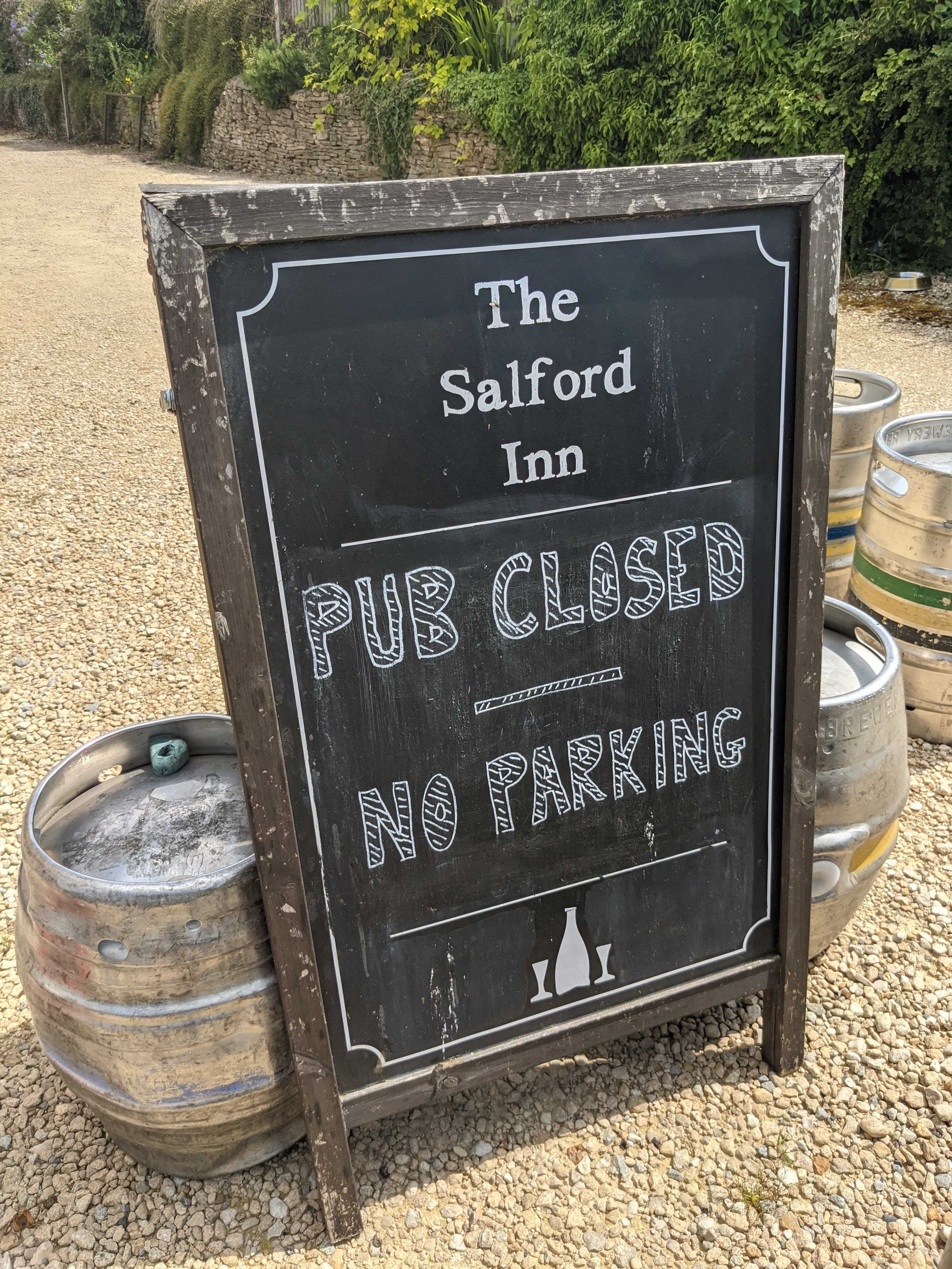
Eventually I reached Salford (no, not the one in Manchester), a pretty and very sleepy village, wherein sadly the pub was still closed.


From there I followed further tracks and country lanes to Kingham.
Kingham had the air of a very manicured and well heeled Cotswolds village. I had briefly harboured a notion of stopping off for a quick pint at one of the pubs here, but I could tell as I passed both of them that they weren't for me - the sort of horribly gastropubified places which I just can't stand. Even the village shop in Kingham looked a little overly precious. I kept on walking, Kingham station being some way beyond the village.


As I started to get near to Kingham station, I spotted an open access woodland on the OS map - Trigmoor Wood - which appeared to neatly cut the corner off for the final half a mile or so of the walk. It did provide another welcome cool break from the surprisingly warm sun this afternoon, but what I had seemed to fail to understand was that open access land directly abutting the station didn't necessarily mean there was an easy path from one to the other. So ultimately a little, errr, "creative navigation" had to be employed. One way or another though I made it onto the platform at Kingham station in good time for the 3pm train back to London.


Comments
Post a Comment